
Terror Attacks: Thousands Flee Niger Border Communities To Benin Republic
Thousands of terrified residents of Borgu and Agwara local government areas of Niger State have fled their homes following renewed terrorist attacks,...
Niger State, the “Power State,” is the largest state in Nigeria by landmass and the heart of the nation’s hydroelectric power generation. Home to three major dams, it is a critical pillar of Nigeria’s energy and agricultural sectors. Naija News provides consistent coverage of Niger State’s “Farmer Governor” initiatives, security updates, and infrastructural development.
Quick Facts & Profile
| Category | Details |
| Current Governor | Mohammed Umar Bago (APC) |
| Capital | Minna |
| Founded | February 3, 1976 |
| Slogan | The Power State |
| Geopolitical Zone | North Central |
| Area | 76,363 km² |
| Population | ~6.7 Million+ (Estimated) |
| ISO Code | NG-NI |
Geography and Borders
Niger State shares an international border with the Republic of Benin to the west. Domestically, it is bordered by Zamfara to the north, Kebbi to the northwest, Kaduna and the FCT to the northeast and east, Kwara and Kogi States to the south.
Governance: From 1976 to Date
Created from the old North-Western State, Niger has been a training ground for several of Nigeria’s top military and civilian leaders:
Education and Landmarks
The state is home to the Federal University of Technology, Minna (FUTMINNA) and the Ibrahim Badamasi Babangida University (IBBU) in Lapai. Iconic landmarks include the Kainji, Shiroro, and Jebba Dams, as well as the majestic Gurara Waterfalls and Zuma Rock.
Thousands of terrified residents of Borgu and Agwara local government areas of Niger State have fled their homes following renewed terrorist attacks,...
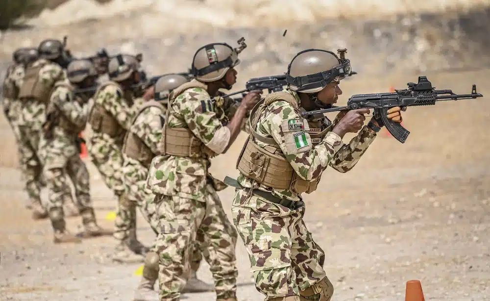
Suspected members of a Boko Haram faction loyal to Sadiku have reportedly suffered heavy losses following a fierce clash with security forces...

26-year-old Samson Emmanuel has been identified as policeman killed by illegal miners at Zuzungi near Kataeregi in the Bosso Local Government Area...

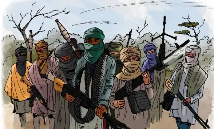
Bandits have murdered at least 32 farmers in a series of attacks on Tugan-Makeri, Konsoko, and Pissa communities in Borgu Local Government...
A routine patrol at an illegal mining hotspot in Niger State on Tuesday escalated into a violent confrontation, leaving a Police Mobile...

Tension has heightened in Kogi and Niger states, following escalating insecurity in parts of the North Central, particularly after the recent killings...

Niger Tornadoes FC have issued a stern warning that they may pull out of the ongoing Nigeria Premier Football League (NPFL) after...

Suspected armed bandits in the early hours of Sunday launched a violent attack on Agwara community in Agwara Local Government Area of...
Armed men suspected to be marauding bandits set a police station and a United Methodist Church (UMC) ablaze in the Sokombara community...

Gunshots and loud explosions of yet to be ascertained source were heard late on Wednesday night around the Niamey International Airport in...

The Nigerian Air Force (NAF) says an investigation has been opened into reports that some civilians were killed during a military airstrike...

At least two persons have been killed while several others sustained gunshot injuries following an aerial attack on Kurgi community in Mariga...

A 300-level student of the Department of Computer Science at Ibrahim Badamasi Babangida University, Lapai, Niger State, identified as Kelvin Danlami, has...
Tragedy struck Kabe Community in Borgu Local Government Area of Niger State as bandits shot dead a 75-year-old woman, Amina Abu-Shaki, the...
Residents of Kasuwan Daji in Borgu Local Government Area of Niger State have raised the alarm after suspected bandits were sighted around...

The Federal Fire Service, Niger State Command, has disclosed that no fewer than 430 fire outbreaks were recorded across the state between...
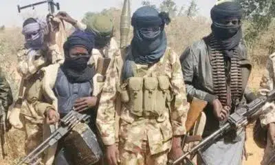
Fresh attacks by jihadist groups linked to Jama’atu Ahlis Sunna Lidda’awati wal-Jihad (JAS), Ansaru splinter factions and the Jama’at Nusrat al-Islam wal-Muslimin...

Days after over 40 people were killed in a terror attack in Niger State, marauders struck again across Kwara, Katsina and Kaduna...
The Niger State Police Command has deployed bomb disposal experts to evacuate an explosive device discovered along a roadside in the state,...

Three days after gunmen killed more than 40 people in Kasuwar Daji, residents of Ganaru area in Magama Local Government Area of...
