
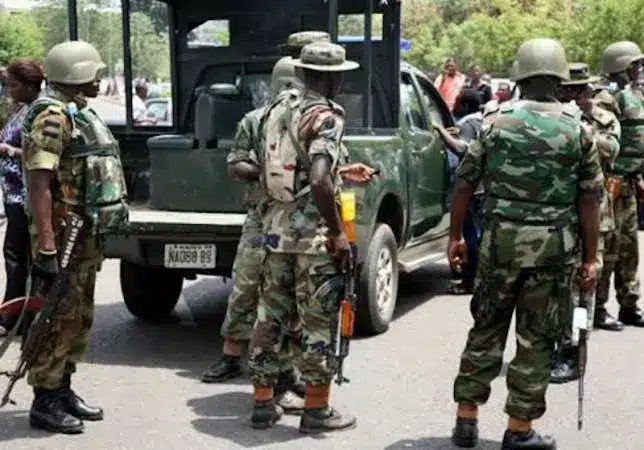
Police Uncover Illegal Firearms Factory In Yobe
The Yobe State command of the Nigeria Police Force has uncovered an illegal firearms fabrication workshop in Potiskum Local Government Area of...

Yobe State, the “Pride of the Sahel,” is a resilient state known for its gum arabic, cattle markets, and historic desert oases. Despite facing significant security challenges in the past, it is now a model for reconstruction and agricultural recovery. Naija News provides the latest on Yobe’s development projects and the 2026 “Sustainability” budget.
Quick Facts & Profile
| Category | Details |
| Current Governor | Mai Mala Buni (APC) |
| Capital | Damaturu |
| Founded | August 27, 1991 |
| Slogan | Pride of the Sahel |
| Geopolitical Zone | North East |
| Area | 45,502 km ² |
| Population | ~3.9 Million+ (Estimated) |
| ISO Code | NG-YO |
Geography and Borders
Yobe shares an international border with the Republic of Niger to the north. Domestically, it is bordered by Borno to the east, Gombe to the south, and Bauchi and Jigawa States to the west.
Governance: From 1991 to Date
Formed from the western half of Borno State, Yobe has been governed by:
Education and Landmarks
Key institutions include Yobe State University and the Federal University, Gashua. Notable landmarks include the Potiskum Cattle Market (one of the largest in Africa) and the Tulo Tulo Oasis, often called the “Desert Land of Hope.”
The Yobe State command of the Nigeria Police Force has uncovered an illegal firearms fabrication workshop in Potiskum Local Government Area of...
At least 17 police officers undergoing specialised operational training have been killed after suspected insurgents attacked the Nigerian Army Special Forces School...

Former Anambra State Governor, Peter Obi, has condoled with the Nigerian military and the police over the killing of security personnel during...
Troops of Sector 2 of Operation Hadin Kai have arrested two suspected logistics operatives linked to terrorists operating in the North-East during...

Troops of the Joint Task Force, North-East, Operation HADIN KAI, have repelled a night attack by Boko Haram/ISWAP terrorists on the 120...
At least 36 soldiers and mobile police officers were reportedly killed after Boko Haram insurgents launched coordinated attacks on two military formations...

Former Inspector General of Police, Usman Alkali Baba, has declared his intention to contest the 2027 governorship election in Yobe State. The...

The senator representing Yobe East, Mustapha Musa, popularly known as Kulas, has withdrawn from the 2027 race and declared support for Governor...

Troops of the Nigerian Army have repelled an attempted attack by suspected Islamic State West Africa Province (ISWAP) terrorists along the Maiduguri–Damaturu...

Troops of Operation Hadin Kai have arrested a suspected informant linked to Boko Haram and the Islamic State of West Africa Province...
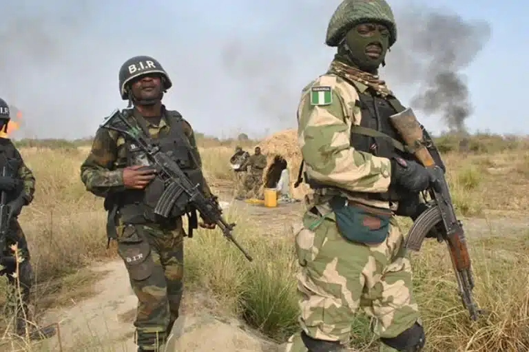
Troops of Operation Hadin Kai have repelled a midnight attack by suspected insurgents in Kukareta, Yobe State, killing 24 of the attackers...

The Nigerian Correctional Service (NCS), Yobe State Command, has declared a 30-year-old convicted inmate wanted after he escaped following a road accident...

The Governor of Borno State, Babagana Zulum, has said the Jilli market, recently hit by a deadly bombing, had been shut down...

No fewer than 56 people, mostly traders, are feared dead while several others sustained injuries following an airstrike on a weekly market...

An airstrike carried out by the Nigerian Air Force (NAF) has reportedly caused civilian casualties at a busy market along the Borno–Yobe...
The Yobe State Chairman of the All Progressives Congress (APC), Muhammad Gadaka, has declared that the ruling party will remain in power...
The member representing Bade/Jakusko Federal Constituency in the House of Representatives, Hon. Hassan Kaikaku Jakduwa, has defected from the Peoples Democratic Party...

The National Bureau of Statistics (NBS) has disclosed that the average retail price of Premium Motor Spirit (petrol) rose slightly to ₦1,051.47...
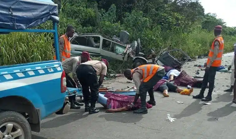
No fewer than five members of the same family have lost their lives in a tragic road accident along the Damaturu–Maiduguri highway...

The Defence Headquarters (DHQ) has said that the remarks of the Chief of Defence Staff (CDS), General Olufemi Oluyede, on the fight...
