
Kano Govt Merges Two Ministries
The Kano State Government has merged the Ministry of Water Resources with the Ministry of Environment and Climate Change as part of...

Kano State, the “Centre of Commerce,” is the economic engine of Northern Nigeria and the state with the highest commercial density in the region. Home to the historic Kurmi Market, Kano is a global hub for trade, leather, and textiles. Naija News brings you the latest on Kano’s vibrant politics, trade, and traditional heritage.
Quick Facts & Profile
| Category | Details |
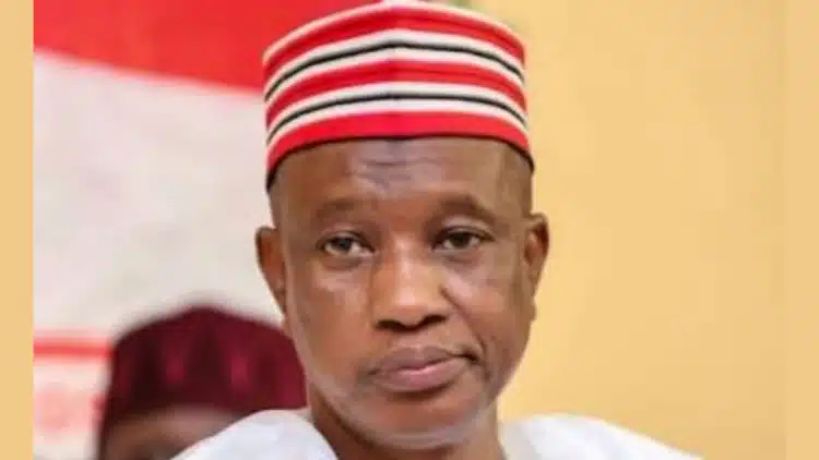
| Current Governor | Abba Kabir Yusuf (NNPP) |
| Capital | Kano |
| Founded | May 27, 1967 |
| Slogan | Centre of Commerce |
| Geopolitical Zone | North West |
| Area | 20,131 $km^2$ |
| Population | ~16 Million+ (Estimated) |
| ISO Code | NG-KN |
Geography and Borders
Kano is located in the heart of the Sudan Savannah. It shares borders with Katsina State to the northwest, Jigawa State to the northeast, Bauchi State to the southeast, and Kaduna State to the southwest.
Governance: From 1967 to Date
Kano’s political history is defined by its strong traditional institutions and radical democratic movements:
Education and Landmarks
The state hosts Bayero University Kano (BUK) and the Kano State University of Science and Technology. Iconic landmarks include the Gidan Rumfa (Emir’s Palace), the Kano City Walls, and the Dala Hill.
The Kano State Government has merged the Ministry of Water Resources with the Ministry of Environment and Climate Change as part of...
The governorship candidate of the Nigeria Democratic Congress (NDC) in Kano State and former Deputy Governor, Aminu Abdussalam Gwarzo, has accused Governor...

Kano State Governor, Abba Kabir Yusuf, has warned commissioners and special advisers in his administration to improve their performance or face the...

The governorship candidate of the Nigerian Democratic Congress (NDC) in Kano State, Aminu Abdulsalam Gwarzo, has expressed confidence that the party will...

The Kwankwasiyya Movement has dismissed reports of internal division over the allocation of political positions ahead of the 2027 elections in Kano...

The immediate past Deputy Governor of Kano State, Aminu Abdussalam Gwarzo, has emerged as the governorship candidate of the Nigeria Democratic Congress...

Political tension is rising in Kano State as supporters of the Kwankwasiyya Movement and the Nigeria Democratic Congress (NDC) await the official...

Former Vice President Atiku Abubakar recorded a convincing win in the African Democratic Congress (ADC) presidential primaries in Kano State. According to...
Kano State Governor, Abba Yusuf, has approved a ₦20,000 Eid-el-Kabir goodwill package for civil servants in the state. The package will cover...

A former Kano State governor and senator who represented Kano South in the 9th National Assembly, Kabiru Ibrahim Gaya, has lost his...

President Bola Tinubu has won the All Progressives Congress (APC) presidential primary election held in Kabo Ward, Kabo Local Government Area of...
A judge of the Federal High Court, Justice Mohammed Nasir Yunusa, is dead. The court’s Director of Information, Dr Catherine Oby Christopher,...

The 15th Emir of Kano, Aminu Bayero, has formally notified security agencies of plans to hold the 2026 Eid-el-Kabir Durbar festivities from...
A member of the Kano State House of Assembly representing Gwale Constituency, Hon. Abdulmajid Isa Umar Mai Rigar Fata, has dumped the...

The Kano State Ministry of Education has announced the Eid-el-Kabir holiday for all public and private primary and secondary schools across the...

The spokesman for Kano State Governor, Abba Yusuf, Sanusi Bature, has said the partnership between former presidential candidates, Peter Obi, and Rabiu...
The Chairman of Ungogo Local Government Area of Kano State, Tijjani Amiru Bilyaminu, has ordered the immediate closure of Al-Hadeed Private School...

Consensus negotiations for House of Representatives tickets in Kano State remained deadlocked on Thursday as leaders of the All Progressives Congress (APC)...
A 28-year-old woman, Firdausi Musa, and her two children have been hospitalised after her co-wife, Maryam Muhammad, allegedly attacked them in the...
The reconciliation process initiated by the Kano State chapter of the All Progressives Congress (APC) ahead of the 2027 general elections has...
