
Peter Obi Never Chased Away Northerners From Anambra State – Media Office
The Peter Obi Media Office has rejected claims that former Anambra State governor, Peter Obi, targeted northerners during his time in office....


Anambra State, the “Light of the Nation,” is a central commercial and educational hub in South-Eastern Nigeria. With the highest population density in the region, it is home to the famous Onitsha Main Market. Naija News provides updates on Anambra’s vibrant economy, politics, and security.
Quick Facts & Profile
| Category | Details |
| Current Governor | Charles Soludo (APGA) |
| Capital | Awka |
| Founded | August 27, 1991 |
| Slogan | Light of the Nation |
| Geopolitical Zone | South East |
| Area | 4,844 km ² |
| Population | ~5.5 Million+ (Estimated) |
| ISO Code | NG-AN |
Geography and Borders
Anambra is located in the South-East. It shares boundaries with Delta State to the west, Kogi State to the north, Enugu State to the east, and Imo and Rivers States to the south.
Governance: From 1991 to Date
Anambra’s political history is one of the most dynamic in Nigeria:
Education and Landmarks
Anambra hosts the Nnamdi Azikiwe University (UNIZIK) in Awka and the Chukwuemeka Odumegwu Ojukwu University. The state’s commercial heartbeat is the Onitsha Main Market, often cited as the largest market in West Africa.
The Peter Obi Media Office has rejected claims that former Anambra State governor, Peter Obi, targeted northerners during his time in office....

The Anambra State Governor, Chukwuma Soludo, on Monday swore in 18 commissioners following their confirmation by the state House of Assembly. The...

The Anambra State chapter of the All Progressives Congress (APC), has expelled 30 of its members who dragged the party to court....

No fewer than 23 aspirants have defected from the African Democratic Congress (ADC) in Anambra State following the lingering leadership crisis in...
Operatives of the Inspector General of Police Safe School Initiative in the Anambra State Police Command have arrested a man identified as...

Anambra State Governor Chukwuma Soludo has ordered the suspension of civil servants who were absent from their duty posts by 10 a.m....
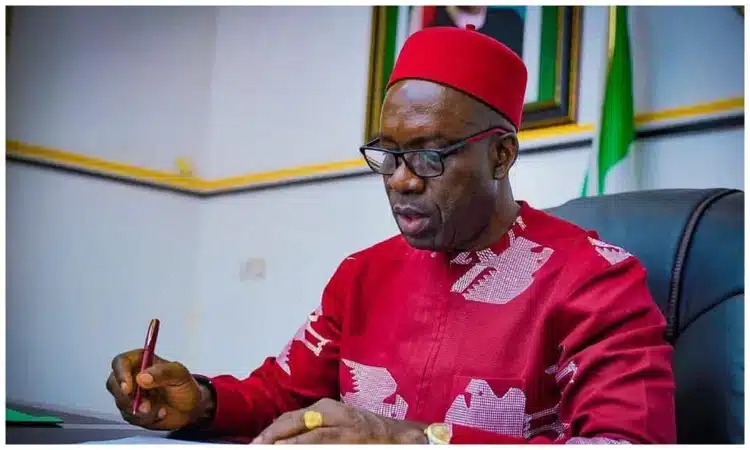
The Governor of Anambra State, Prof. Chukwuma Soludo, on Wednesday swore in the newly appointed Secretary to the State Government, Mrs Chiamaka...
Governor Chukwuma Soludo of Anambra State has approved the appointment of key officials and special advisers to serve in various capacities within...

Governor Chukwuma Soludo of Anambra State has appointed Chiamaka Nnake as Secretary to the State Government (SSG), making her the first woman...
Governor Charles Soludo has declared that Anambra State is currently the safest state in the country, stating that no major security incident...

The governor of Anambra State, Charles Soludo, has stated that he has no issue with traditional worshippers. The governor said this during...
The Governor of Anambra State, Chukwuma Soludo, has directed all political appointees to hand over their duties with immediate effect. Naija News...

The Governor of Anambra State, Chukwuma Soludo, has been sworn in for a second term in office. The inauguration ceremony took place...
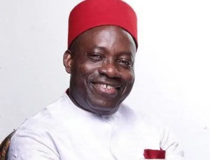
Vice President Kashim Shettima, former Presidents Olusegun Obasanjo and Goodluck Jonathan are among the top dignitaries expected in Anambra State for the...

The Anambra State command of the Nigeria Police Force has detained six officers attached to the Okpoko Police Division in Onitsha over...

The Anambra State Government has reduced the February salaries of civil servants who did not report to work on Mondays during the...

A popular Anambra native doctor, Chidozie Nwangwu, also known as Akwa Okuko, has been sentenced to two years’ imprisonment. Nwangwu was arrested...
The Anambra State Government has again sealed several shops belonging to traders in markets around Onitsha and neighbouring communities for failing to...

There was heightened tension in Onitsha Main Market, Anambra State, on Monday morning following reports that suspected hoodlums placed a coffin at...
The Anambra State Governor, Chukwuma Soludo, has ordered the reopening of the Onitsha Main Market on Monday, February 2, 2026, for full...